July 17th, mostly sunny during the day, mostly cloudy in evening
Today is another meaningful day for me because I finish the second section of the TransAmerica Trail.
The biker I met yesterday in the campsite left pretty early. Before he left, I took a picture of his bike. Look at his gears --- he's a much tougher man than I am. I also took a couple other pictures of the park.
Right after I left the campsite, I got three crazy dogs chasing me. They were very aggrestive. I pedaled as fast as I could but they keep tracing me for a good five minutes. I had some dog problems after I entered Kentucky but this is the worse so far.
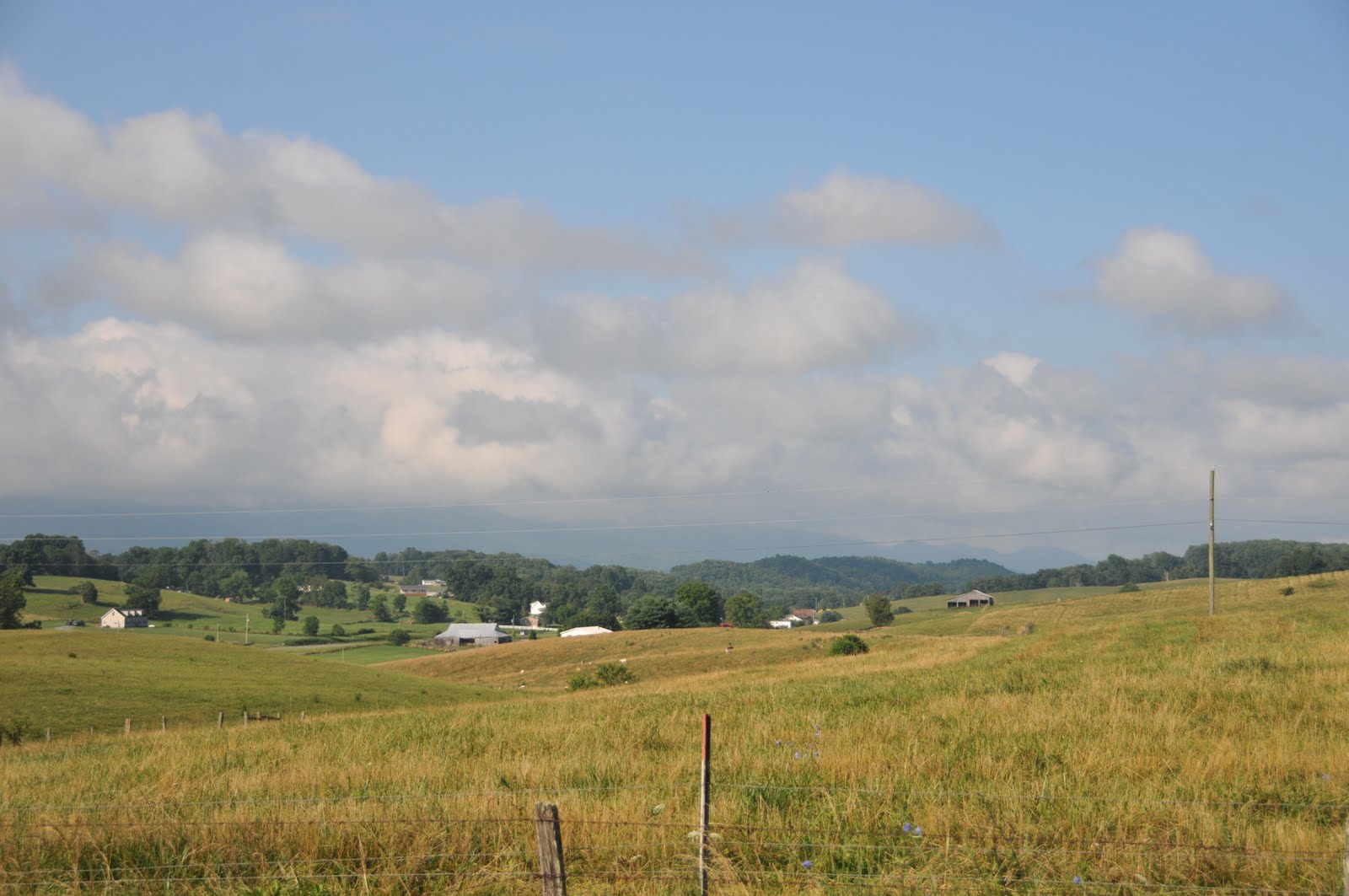
Other than the dogs, it was a pretty good day. In late afternoon it became cloudy so the temperture did went too high. I kept passing big farms and beautiful fields.
People were very friendly on the road. When I was near McKee, a pickup truck slowed down near me. The lady inside asked if I need some water. My water bottles were pretty full but I still want to thank her very much.
I probably started the day too late and it got pretty dark as I approach Berea. There was a long speed downhill section near Bighill. The view was amazing because the sun was setting but I didn't stop to take a picture --- I just want to arrive Berea before it got too dark.
When I was entering Berea, I met some bad people. I was riding on a narrow road and there was a pickup truck passed by. The guy sitting on the passeger sit opened the window and throwed a soda/beer can to me! The can didn't hit me but what the hack? Almost all people I met so far are very friendly and helpful, but there are just some people who don't respect others. Also, after I entered Berea, there was a car on the other side of the raod passing, which got extremely close to me! Well, I did have my lights on, but it was probably too dark for the driver to see me.
Anyway, I arrived the intersection where the second map ends. The historical Boone Tavern Hotel was right there so I checked in and spent a good night there.
Showing posts with label Map2. Show all posts
Sunday, July 18, 2010
Friday, July 16, 2010
Day 16: Pippa Passes to Buckhorn (53.5 miles)
July 16, mostly sunny, heavy rain in the afternoon
Let me just put two more pictures of the Alice Lloyd College campus. I really want to thank the officers again for letting me camp outside the dorm.
It was mostly sunny but not too hot. The ride from Pippa Passes to Hindman was fine --- except there were lots of big trucks on the road. I'm not sure, but it seems Hindman is surrounded by mining areas.
Cloud started to build up in the afternoon --- all the sudden it rained extremely badly. I took a break under a bridge near Dwarf and used my phone to update my facebook status. For people who want to follow more closely to my journey, I suggest you to friend me in facebook. It is much more update than this blog!
After Dwarf, I needed to pass 5 or 6 hills. Each of them is like 500 feet high and they are all steep. The sun came out again and the condition became really bad for bikers. I felt like biking in a steam cooker again.
And the day didn't end like that. After some downhill sections, there were 3 more climbs before I finally arrived Buckhorn.
The Buckhorn Lake State Park was indeed very nice. There was another biker, who's heading east, arrived a few minutes before I did. We could save some money by sharing the campsite if we met a little bit earlier. I bought some ham before I entered the park and realized that's too much for my dinner so I shared it with the other biker. I also did my shower and laundry, and got a good sleep with clean clothes.
Thursday, July 15, 2010
Day 15: Breaks to Pippa Passes (60 miles)
July 15th, mostly sunny, very hot
My performance surely depends on the weather and temperature a lot. I was able to finish ~ 80 miles with 5000 feet of elevation gain yesterday. However, I can only do 60 miles (with a bit less elevation gain) today.
I started at the beautiful Breaks Interstate Park, where I camped last night.
After a very short ride, I finially finished Virginia! I entered the second state of my journey, Kentucky.
My first stop in Kentucky was Elkhorn City. My friend Cyhs ordered a solar charger, couple cables, and a medical lotion for me. She had them sent to Elkhorn City. Therefore, I stopped by the post office and picked them up. Thanks a lot! I enjoyed a huge grill chicken salad in a local restaurant. It was getting late, I start biking again at almost 2pm.
There were four mountains that I needed to climb. Because of the sun, I had a very hard time pedaling up. I ended up just pushing my bike up about half of the time. When I was up on the first hill, I met two other bikers. They started at San Francisco and did the Western Express Trail, which merges with the TransAmerica Trail at Pueblo, Colorado. If I don't have enough time to finish my trip, I may switch to the Western Express. The disadvantages are 1) I will miss the most interesting part of the TransAmerica Trial, 2) I will need pass the desert area! Let me pedal for a few more days and see how much I can speed up, then I will decide.
People were very friendly along the way. Two young men on a pickup truck offered me a ride to the top of a hill. I turned down the offer because I want to pedal all by myself. They actually drove back and forth a few times and waved hand when I went over the hill!
I arrived Pippa Passes pretty late and got a few dogs chasing me. I met one old gentleman at an interction, who offered me a ride to Hindman (the next town that I will hit) to find a hotel. Again I turned him down even it was so already dark. Another lady told me that the hostel described in Ikenberry's book was not operating anymore. She suggested me to ask the police department inside the beautiful Alice Lloyd College. The officers there was extremely nice and helpful. They allowed me to camp right outside a student dorm. I chatted with a couple students. It turned out that there were couple other bikers camped near the dorm a few days ago.
Day 14: Damascus to Breaks (79.5 miles)
July 14th, mostly sunny all day
I woke up early again and started biking by 8am. It was cloudy in Damascus but once I left that area, the sun came out. The slopes were not too bad until I reached Hayters Gap, where I did spend some time walking my bike up the mountains.
After a couple beautiful downhill sections, I entered a small town Honaker. I've heard bikers mentioning bad people in that area but the two guys I talked to were very friendly.
There was another big climb after Honaker. After going up, I had a very enjoyable 17 miles ride within the Council Valley.
But the day didn't end in the Valley. There were three big hills that I needed to go over before I enter the Breaks Interstate Park. I guess the Council Valley gave me a break so I got enough energy to go over them. The following two pictures are both taken in the park.
Breaks is at the boundary of Virginia and Kentucky so it is an interstate park. The park and the campsites are both beautiful. When I registered for my campsite, the manager gave me a free bottle of soda! I made some noddles and soap for dinner. There was no light around. I took a very nice picture of the night sky in the basketball field near the campsite. Alright, there are too many trees around. But see, that's the Milky Way!
This is the longest day I did so far. Accroding to Ikenberry, this section actually takes 81 miles. I guess that includes the extra bit for getting to the campsite inside the state park. Anyway, I put 79.5 miles in my log by just adding up milage on the maps.
Tuesday, July 13, 2010
Day 13: Wytheville to Damascus (60 miles)
July 13th, cloudy and light shower in morning, a few heavy rains in afternoon
After resting in Wytheville for a full day (and upload all the pictures), I felt energetic so I woke up early. It was cloudy and cool in the morning, just perfect weather for biking.
The morning section was pretty much uphill. Some slopes were pretty steep that even big trucks had problems going up. And the roads were narrow so I couldn't just pass them. I got stuck on the raod near Sugar Grove for about half hour.
The sun came out later in the afternoon.
Fortunately that I was about to enter the Mt. Roger Nationa Reacreation Area. The surround was cooler because of the trees. I passed by a couple campsites and hiking trails. The picture on the right is a "hourse campground". Cool, isn't it?
The TransAmerica Trail intersection with the Appalachian Trail within the Recreation Area. One of my dreams is to spend six months walking across America along the Appalachian Trail.
When I finished climbing up the hill, the weather became pretty unstable. By looking at the cloud I could tell it's going to rain. I was close to a campsite so I stopped by its office. The host was pretty nice so we chatted a little bit
And take a look at this. The host told me that hanging water in transparent bags can avoid flies! I'm going to try it sometime.
The rain leasted for only half hour and I continued my trip. The picture in the left is just a funny sign that I saw on the road. On the right, you can see the stream rising up after the rain. I felt horrible when riding in such a condition. It's like I was put in a steam cooker.
Besides the steaming part, the speedy downhill was fun. It was pretty much along a river.
At evening, I finially arrived "the Place", a pretty cool hostel shared by AT (Appalachian Trail) hikers amd TA (TransAmerica) bikers.
I was hopping to meet some fun people there. I probably arrived too late, the hikers were already in bed. I ended up picking a bed upstairs to avoid waking the hikers up. The right picture is the "living room" taken from the next morning.
Subscribe to:
Posts (Atom)