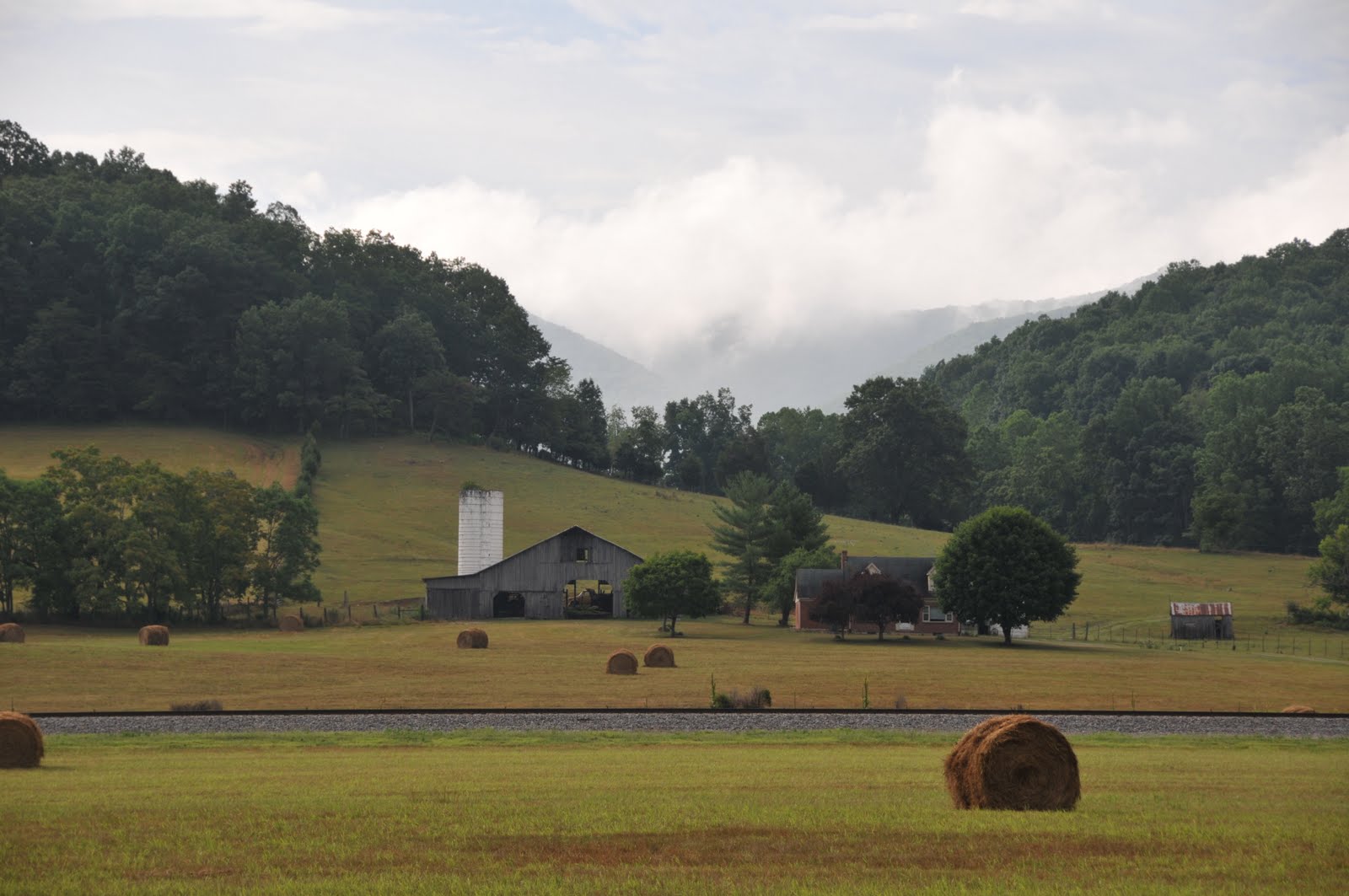
July 14th, mostly sunny all day
I woke up early again and started biking by 8am. It was cloudy in Damascus but once I left that area, the sun came out. The slopes were not too bad until I reached Hayters Gap, where I did spend some time walking my bike up the mountains.
After a couple beautiful downhill sections, I entered a small town Honaker. I've heard bikers mentioning bad people in that area but the two guys I talked to were very friendly.
There was another big climb after Honaker. After going up, I had a very enjoyable 17 miles ride within the Council Valley.
But the day didn't end in the Valley. There were three big hills that I needed to go over before I enter the Breaks Interstate Park. I guess the Council Valley gave me a break so I got enough energy to go over them. The following two pictures are both taken in the park.
Breaks is at the boundary of Virginia and Kentucky so it is an interstate park. The park and the campsites are both beautiful. When I registered for my campsite, the manager gave me a free bottle of soda! I made some noddles and soap for dinner. There was no light around. I took a very nice picture of the night sky in the basketball field near the campsite. Alright, there are too many trees around. But see, that's the Milky Way!
This is the longest day I did so far. Accroding to Ikenberry, this section actually takes 81 miles. I guess that includes the extra bit for getting to the campsite inside the state park. Anyway, I put 79.5 miles in my log by just adding up milage on the maps.
Showing posts with label VA. Show all posts
Thursday, July 15, 2010
Tuesday, July 13, 2010
Day 13: Wytheville to Damascus (60 miles)
July 13th, cloudy and light shower in morning, a few heavy rains in afternoon
After resting in Wytheville for a full day (and upload all the pictures), I felt energetic so I woke up early. It was cloudy and cool in the morning, just perfect weather for biking.
The morning section was pretty much uphill. Some slopes were pretty steep that even big trucks had problems going up. And the roads were narrow so I couldn't just pass them. I got stuck on the raod near Sugar Grove for about half hour.
The sun came out later in the afternoon.
Fortunately that I was about to enter the Mt. Roger Nationa Reacreation Area. The surround was cooler because of the trees. I passed by a couple campsites and hiking trails. The picture on the right is a "hourse campground". Cool, isn't it?
The TransAmerica Trail intersection with the Appalachian Trail within the Recreation Area. One of my dreams is to spend six months walking across America along the Appalachian Trail.
When I finished climbing up the hill, the weather became pretty unstable. By looking at the cloud I could tell it's going to rain. I was close to a campsite so I stopped by its office. The host was pretty nice so we chatted a little bit
And take a look at this. The host told me that hanging water in transparent bags can avoid flies! I'm going to try it sometime.
The rain leasted for only half hour and I continued my trip. The picture in the left is just a funny sign that I saw on the road. On the right, you can see the stream rising up after the rain. I felt horrible when riding in such a condition. It's like I was put in a steam cooker.
Besides the steaming part, the speedy downhill was fun. It was pretty much along a river.
At evening, I finially arrived "the Place", a pretty cool hostel shared by AT (Appalachian Trail) hikers amd TA (TransAmerica) bikers.
I was hopping to meet some fun people there. I probably arrived too late, the hikers were already in bed. I ended up picking a bed upstairs to avoid waking the hikers up. The right picture is the "living room" taken from the next morning.
Day 12: Rest in Wytheville
July 12th, rainy in morning, cloudy in afternoon
It rained pretty badly in the morning. And the weather forecast said that the thunderstorm would countinue until the weekend. I therefore decided to stay in Wytheville for an extra day and paid for the hotel room. The storm went away in the afternoon. It was still cloudy but not raining anymore. It could be a great afternoon for biking!
Although it was cloudy at night, I could still see some stars. Here is a cool pictures of the sky.
I pretty much spent the whole day in the hotel lobby to upload pictures from my Nikon D300. As I blogged yesterday, I actually called a couple hotels before picking this one --- laptops are so common now that not all hotels have public computers.
Anywaw, all the pictures (up to yesterady) are now avaliable! The blogs themselves are not all written. It will take me couple more days to catch up the writing.
Sunday, July 11, 2010
Day 11: Christiansburg to Wytheville (54.5 miles)
July 11, sunny, temperature is reasonable
I started the journey of the second section in early morning. The temperature was low and the ride was enjoyalbe.
The weather was nice. I passed by farms,
rivers, and lakes.
I didn't have a formal lunch. I just stopped by a gas station to grap some snack. The afternoon was warmer but the temperature was still reasonable.
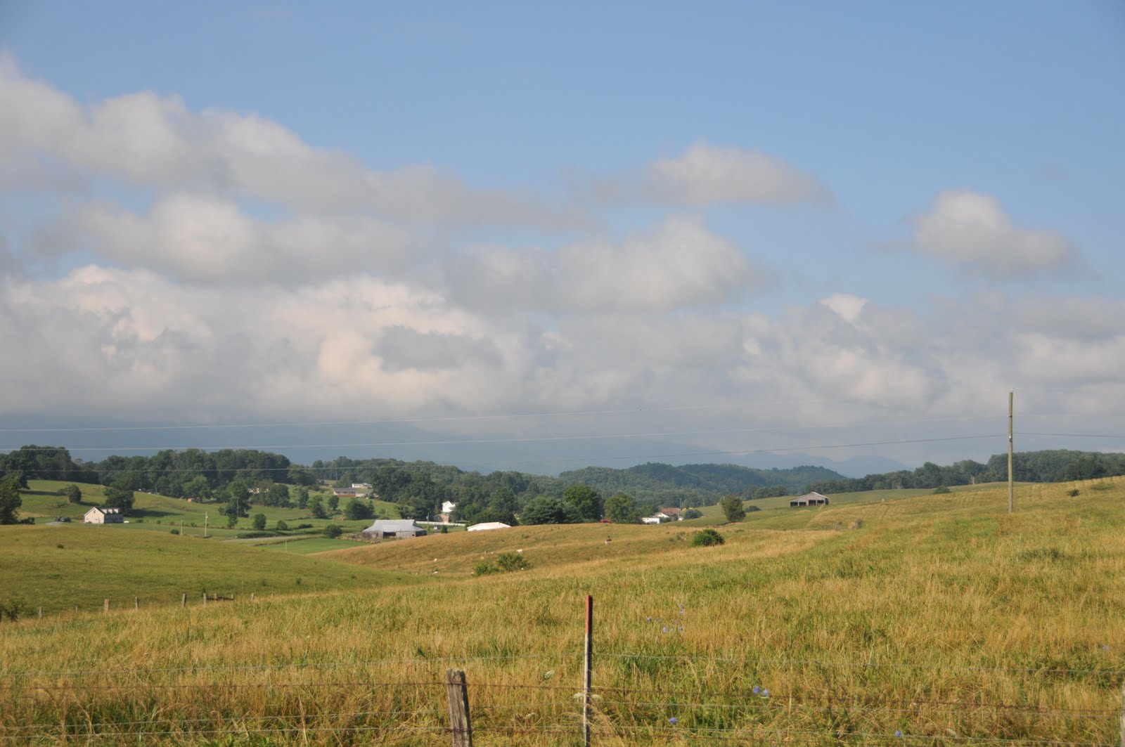
The evening, when I was approaching Wytheville, was beautiful. The weather was good, the temperature dropped back down, the route was pretty much flat. And I had very good view of the landscape.
I called up couple hotels in Wytheville. Only the Best Western had public computer for me to upload pictures so I spent a night there.
Location:Wytheville,United States
Day 10: Bachanan to Christiansburg (66.5 miles)
July 10th, cloudy in morning, partly cloudy in afternoon, perfect day for cycling
Today marks a milestone on my journey. I finished the first section of TransAmerica Tail (based on twelve maps from Adventure Cycling Association). I have ridden 367.5 miles so far. The average speed is only 36.75 miles per day. Yes I am riding pretty slowly.
However, today is the first time I pedaled more than 60 miles. I am still behind schedule --- not my own 62-day trip schedule, but the standard 77-days schedule. Because it seems that I can handle longer rides now, there is still hope that I can finish he whole TransAmerica Trial.
So let's start the day with a very cute picture of the cat outside the hotel,
together with a couple cool pictures of the sky and landscape. In the lower-right picture, it seems somebody has a telescope in his/her backyard!
Most part of the route had pretty light traffic. And the views were beautiful. Unfortunately, there are places that I needed to pass the "standard" part of America. (The standard Americian highways and gas stations are totally amazing too, if you think about the scale of the system.)
And this is just surreal to me --- some industory located in a beautiful mountain, doesn't it feel like the lab in the movie "The Island"?
Here are more pictures along the ride. There are wild flowers everywhere.
I still don't konw what these buildings are... can anyone tell me?
Later in the evening, I went by some farms and here are some of those.
The following left panel is just a funny tunnel. However, the right panel marks the end of the first (or the eleventh if people start from west) section of the TransAmerica Trail. I know the picture is not elegant, but I was just too lazy to pull out my tirpod for one picture.
The night sky outside budget inn in Christiansburg was ok. I took a couple pictures and then crashed down to the bed.
Subscribe to:
Posts (Atom)